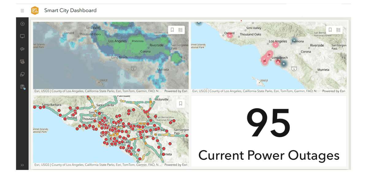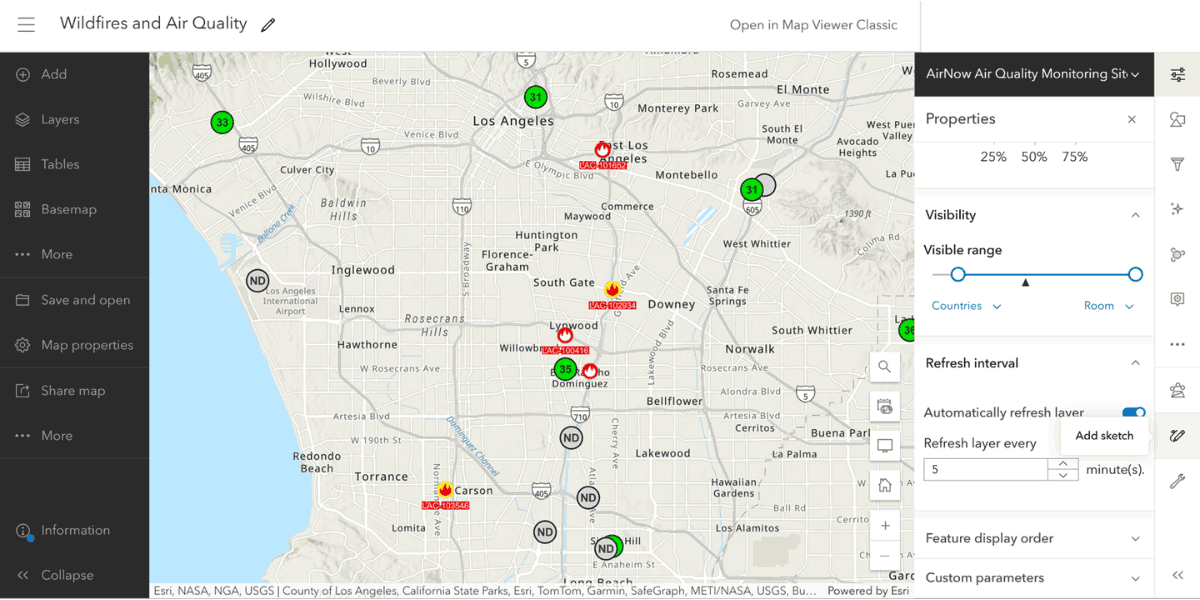
The one-year Smart Cities Certificate Program empowers and professionally develops adult learners to acquire hands-on analytical and visualization skills to effectively manage, analyze, and interpret Los Angeles City's Open Data and Los Angeles County's Open Data to solve city/county problems. The result will be better decision-making based on data that will inform and lead to a more productive government, businesses, and citizens, among others.
The challenges, problems, and opportunities of cities are, increasingly, all our challenges, problems, and opportunities.
What is a Smart City?

A Smart City uses electronic methods to collect specific data to increase operational efficiency to solve city problems such as those in housing, education, employment, transportation, accessibility, social services, aging population, immigration, and climate change.
Why do we need the Smart Cities Certificate Program?

In the U.S., the top 100 urban areas:
- Sit on only 12% of the nation’s land mass.
- Are home to 66% of the population.
- Generate 75% of the national GDP.
By 2050, 75% of the global population will call urban areas their home.
Additional Information
The Smart Cities Certificate Program teaches students analytical skills in urban policy and development and provides GIS (Geographical Information System) training that is applied to available Open Data to investigate, interpret, understand, track, monitor, evaluate, and analyze social indicators such as demographic, political, health, crime and employment, among others.
Students’ capstone projects will be to create project-specific dashboards that will measure, evaluate, and monitor policy changes in the City and County of Los Angeles that address city problems.
The Smart Cities Certificate Program supports careers and jobs in public and private sectors including*:
- City and County of Los Angeles
- Non-profit Housing Advocacy Organizations
- Non-profit Economic Development Organizations
- Neighborhood/Community Development Organizations
- Real Estate
- Healthcare
- Social Services
*These agencies and organizations will also serve as target marketing audiences for the program.
Smart City Certificate Program Modules
Fall Semester I (Four Sequence Modules; 15 weeks)
- Module 1: Social Issues in the Urban Setting (3 weeks)
- Module 2: Fundamentals of Geographic Information Systems (3 weeks; multiple sessions)
- Module 3: Examining Urban Society (3 weeks)
- Module 4: Spatial Analysis and GIS Modeling (3 weeks)
- Module 5: Interpreting and Predicting Population Growth (3 weeks)
Spring Semester II (Five Sequence Modules; 15 weeks)
- Module 6: Analyzing Social Class and Inequity (3 weeks)
- Module 7: Database Management (3 weeks)
- Module 8: The Significance of Racial and Ethnic Groups (3 weeks)
- Module 9: Geographic Information Systems Applications in Urban Planning (3 weeks)
- Module 10: Smart Cities Capstone Workshop (3 weeks)
Smart Cities Certificate Program Cost: $1,500

Curriculum Developers
Theodoric (Ted) Manley, Jr. received a BA in Sociology, Religion, and Philosophy from Tarkio College and an MA in Sociology from Colorado State University. In 1982 he was ranked 6th in the American Sociological Association Minority Fellowship Award Program and was accepted into the PhD program in the Department of Sociology at the University of Chicago, where he was awarded a Ph.D. in Sociology (1986). His primary teaching, research, and service interests are community and urban studies and intergroup relations (i.e., race, class, ethnicity, sexuality, gender, religion, disabilities) in urban environments. He is committed to applied change, asset community development, and social justice practices. His research, teaching, training, consulting, service, and publishing are in the areas of city and neighborhood/community relations, global race, class, gender, sexual orientation, and ethnic relations in developed and developing countries, and appropriate technology transfer in agriculturally developing areas. He was the former Program Lead for Urban Studies at Johnson & Wales University—Denver Campus 2014-2016 and former Director of the Black Metropolis Project longitudinal study in Chicago 1998-2008 (https://hoopinstitute.city/theblackmetropolis.php). He has published articles in refereed journals and edited volumes for JAI Press, Racial and Ethnic Studies, Education and Urban Society, and Altamira Press. Working with high school and undergraduate students, he published The Way They Saw It: The Changing Face of Bronzeville (Dorrance Publishers, 2008) and produced a full-length DVD, Black Metropolis: An Oral History of the Rise and Fall of Public Housing in an Historic Chicago Neighborhood, funded by the Illinois Humanities Council in 2010.
Kris Bezdecny received a BS in Mathematics BA in History from the Metropolitan State University in Denver, an MA in Geography from the University of South Florida, and a Ph.D. in Geography & Environmental Science and Policy from the University of South Florida in 2011. Her teaching focuses on urban geography, urban transportation, political geography, and GIS (particularly spatial analysis and mobile GIS). Her research focuses on the relationships that lead to our (re)producing spaces of unevenness, particularly economic and sociopolitical inequities, through our interactions with each other and with existing (and emerging) institutions within cities. This research comprises three interrelated strands: (1) Urban eco-austerity and the uneven geographical development of socionature; (2) The intersections of urban theming and urban globalization with uneven geographical development; and (3) Urban global governance and uneven geographical development. She has held leadership positions in the LA Geographical Society, the California Geographical Society, the Association of Pacific Coast Geographers, and the Qualitative Research Specialty Group of the American Association of Geographers.